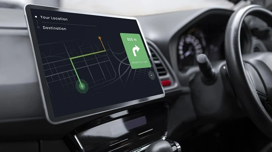
Imagine you're standing in the middle of a vast field, equipped with a powerful GPS device that accurately pinpoints your location. But did you know that the technology behind your GPS goes beyond just one system? Welcome to the fascinating world of GNSS, where four types of Global Navigation Satellite Systems work together to provide us with precise positioning and navigation.
GNSS Constellations Unveiled
1. GPS (Global Positioning System):
The first and most widely known type of GNSS is the Global Positioning System, commonly known as GPS. It was initially developed by the United States Department of Defense for military purposes. Today, GPS has become a global utility, accessible to civilians worldwide for a myriad of applications. The GPS constellation comprises a network of 24 active satellites orbiting the Earth, with multiple backups to ensure continuous coverage.
GPS employs a set of atomic clocks on each satellite, precisely synchronizing time across the constellation. By receiving signals from at least four GPS satellites, your GPS device can calculate your latitude, longitude, altitude, and the exact time. This information allows the device to determine your position accurately and display it on maps or provide turn-by-turn navigation instructions.
2. GLONASS (Global Navigation Satellite System):
Developed by Russia, the GLONASS system is the second global navigation system in operation. GLONASS is similar to GPS in its functionality but uses a different set of satellites. The GLONASS constellation consists of 24 active satellites, strategically positioned to provide global coverage.
One of the key benefits of GLONASS is its higher accuracy in high latitudes, such as near the North and South Poles. When combined with GPS signals, devices that support both systems can achieve even greater accuracy and faster position fixes, especially in challenging environments with obstructed sky views.
3. BeiDou (BDS):
Named after the Chinese term for the Big Dipper constellation, BeiDou is China's contribution to the GNSS family. The BeiDou system began as a regional system and evolved into a global one. The BeiDou constellation comprises two phases: BeiDou-2, also known as COMPASS, with 35 satellites, and BeiDou-3, which further expands the system's capabilities.
BeiDou-3 employs a combination of satellites in geostationary orbits, inclined orbits, and medium Earth orbits to provide global coverage. Like other GNSS systems, BeiDou offers accurate positioning and timing services, with the added advantage of being compatible with other GNSS technologies, creating an interoperable and robust positioning ecosystem.
4. Galileo:
Developed by the European Union and the European Space Agency, Galileo is the newest addition to the GNSS family. Launched in phases, Galileo aims to provide an independent and highly accurate global navigation system.
The Galileo constellation is designed to consist of 30 satellites, including both operational and spares, orbiting the Earth at various inclinations. Galileo has the unique feature of using dual frequencies, allowing receivers to correct for ionospheric delays more effectively, resulting in improved accuracy, especially in challenging environments.
In conclusion, the world of GNSS is a fascinating and diverse universe comprising four main types of Global Navigation Satellite Systems: GPS, GLONASS, BeiDou, and Galileo. Each system brings its own unique set of capabilities to the table, offering users precise positioning, navigation, and timing information across the globe.
As technology continues to advance, GNSS will play an increasingly vital role in our daily lives, influencing everything from navigation apps on our smartphones to autonomous vehicles and precision agriculture. Understanding the diversity and functionality of these four GNSS systems empowers us to make the most of their benefits and navigate the world with confidence.

 EN
EN  ja
ja  ko
ko  fr
fr  de
de  es
es  it
it  pt
pt  vi
vi  sv
sv  ms
ms  CN
CN


