Unicore Company boasts a well-established technical framework and team, coupled with ample experience in mass-producing positioning chips/modules across diverse fields. Additionally, we have forged extensive partnerships with top-tier clients in large-scale applications.
More Compact
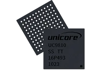
High performance baseband architecture and baseband-RF integrated SoC design to achieve optimalpower,performance and area (PPA)
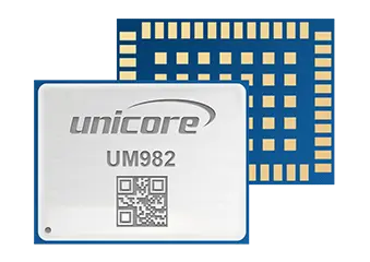
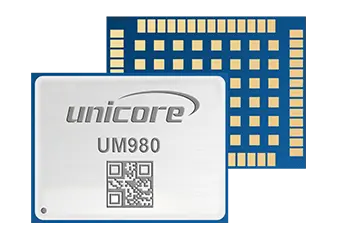
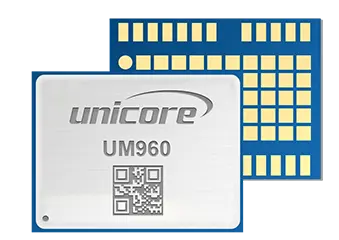
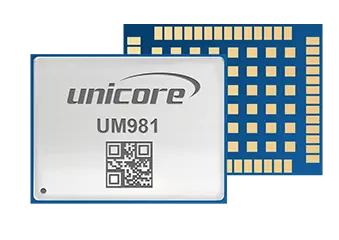
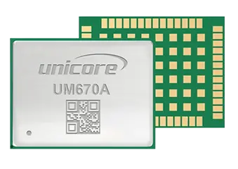
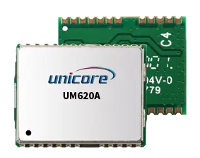
The smallest GNSS high-precision positioning module (12x16mm2) supporting all frequencies
More Accurate
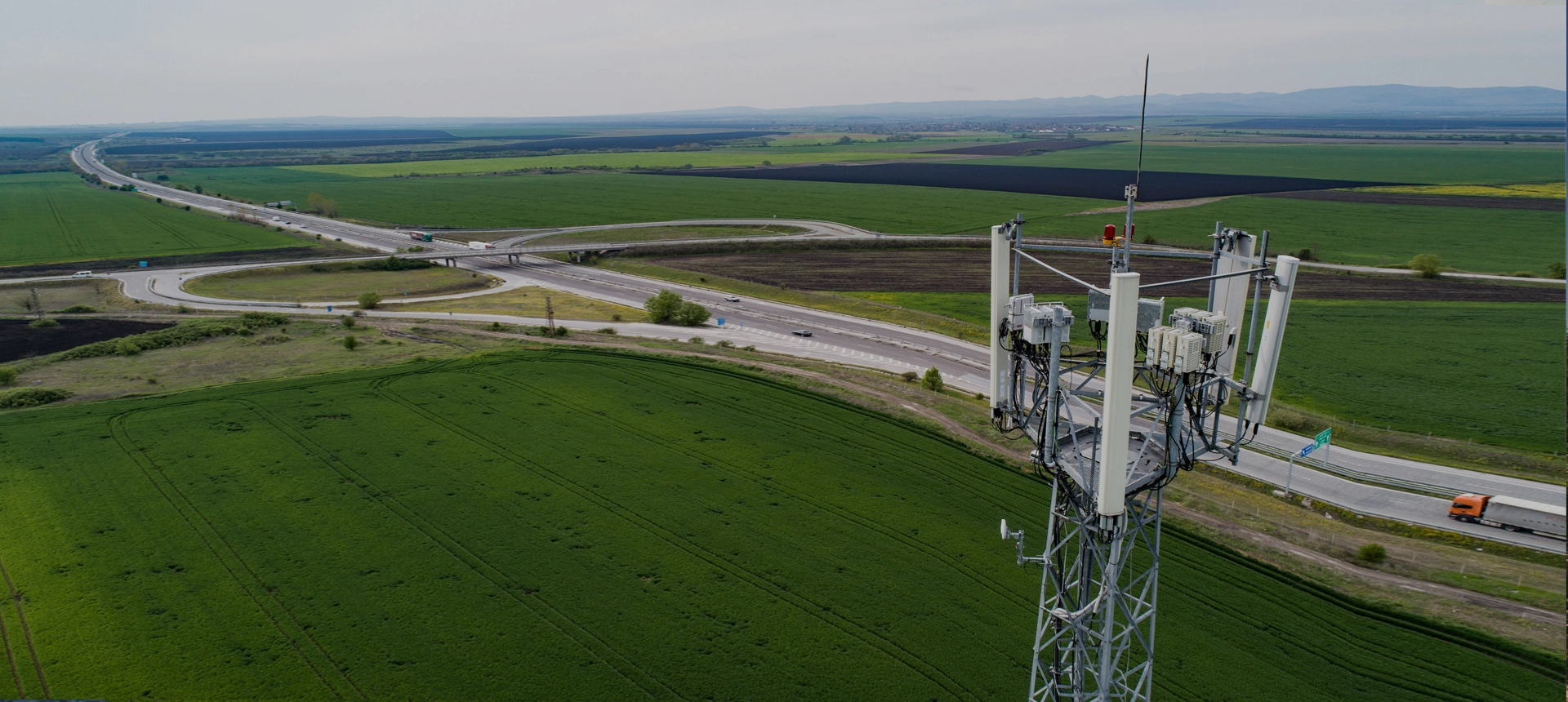
High precision positioning algorithms matching specific application scenarios; multisource fusion technology to improve the positioning availability. For UAVs, agricultural machinery, robotic lawn mowers and intelligent driving applications.
More Convenient
Providing one-stop solution of location-based services, Seamless Deep integration of Cloud and Edge Algorithms to simplify customers' integration process.
More Reliable
Mature research and development system, stable supply chain and su.
 EN
EN  ja
ja  ko
ko  fr
fr  de
de  es
es  it
it  pt
pt  vi
vi  sv
sv  ms
ms