Surveying and Mapping
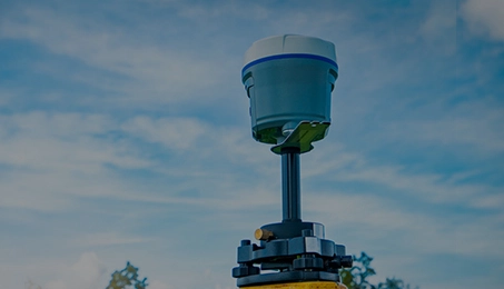
Satellite positioning and navigation has led to a technological revolution in the surveying area and GNSS RTK products have been basic instruments in that area. Compared with the traditional surveying, the significance of GNSS positioning is that it has high accuracy, simple to operate, small, easy to carry and can operate in all weather conditions. It is widely used in geodesy, resource exploration, crustal movement, construction layout, engineering survey, boundary surveys, digital surveying and mapping services, urban management and deformation monitoring.
+
Wearables
As one of the popular wearable products, smart watch, apart from displaying basic information of the user and communication, also records position and sports information of the user due to the location function. It also provides services based on positions.
+
UAV
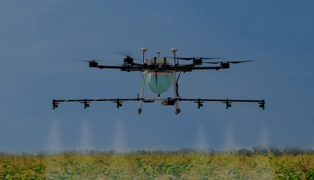
UAV has been widely used in aerial photography, electricity and oil pipeline patrol, agricultural plant protection, aerial surveillance and even film and home entertainment. Flight control system is the core of UAV autonomous fly controlling, which has a significant impact on its stability, and the reliability, accuracy and timeliness of data transmission, plays a decisive role in its flight performance.In the flight control system, GNSS receiver is the most important sensor providing navigation information for the UAV. UAV’s Completing of the design task is not only relies on the pre-set position of the starting point and destination point, but also need to know the real-time location, the sailing speed, navigation attitude , navigation direction and other parameters. The application of GNSS receiver provides a reliable,economic and effective way.
+
Vehicle Monitoring Application
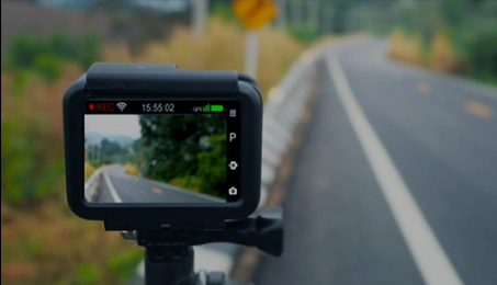
BDS/GPS vehicle monitoring terminals receive signals from BDS and GPS satellites, in conjunction with vehicle status information, and send two-way short messages and data communications to monitor and control center through GPRS/CDMA channel.
+
Precision Agriculture
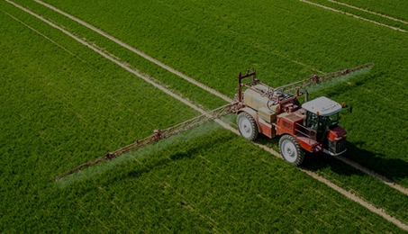
Precise agriculture is a new trend of modern agricultural production technique. By analyzing information such as farmland soil, crop growth and plant diseases and insect pests, the amount of seeds, chemical fertilizer, required moisture and pesticide needed to grow crops in different positions can be acquired. Combined with the intelligent agricultural system, precision agriculture reduces invest of raw materials, lower production costs, improves the yields and is beneficial to environmental protection.
+
Positioning and Heading
Vector quantities comprised of two or multiple GNSS antenna could make high-precise positioning and give high-precise location information, which could be used in positioning, heading and attitude determination of various kinds of motion carriers.
+
Safety Monitoring
Geological disasters such as debris flow, landslide, surface subsidence in the mining area and safety operation of man-made buildings including reservoir, dams, long-span bridges and super high-rise buildings are closely related to displacement deformation. Therefore, due to the continuous increase of people’s producing and living activities, safety monitoring based on displacement deformation has received wide concern in the international arena. Over the past few decades, the high precision GNSS positiong and navigation technology is widely used in different kinds of displacement monitoring and safety monitoring systems with advantages such as automation, precision, fastness, all-weather and low cost.
+
CORS
Continuously Operating Reference Stations (CORS), is known as one of modern information infrastructures based on network, which enables users to obtain spatial data and geographic features in a dynamic, continuous, rapid and precise way. It serves mobile positioning, dynamic and continuous spatial reference frame, and geodynamics parameters, etc. As the major infrastructure for geodesic and space information services, it is widely used in the fields of surveying&mapping, transportation,and security.
+
Mobile Phone & Tablet PC
Over the years, navigation and positioning, along with audio, video, wireless communication (cellular communication, Wi-Fi, Bluetooth) and camera shooting, has become part of standard features of tablets and mobile phone. Apart from communications and multi-media capabilities, tablets and mobile phones allow their users to get position information at any time.
+
Precise Timing
Among the standards in the field of mobile communication, CDMA2000 and TD-SCDMA are both base station synchronization systems.
+