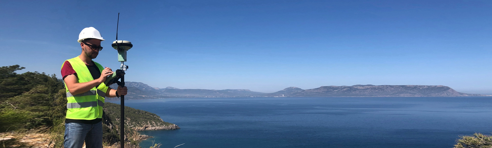
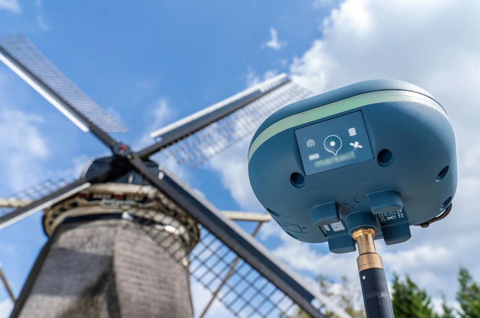
Satellite positioning and navigation technology has brought a technological revolution for the surveying area and GNSS RTK products have become basic instruments. Compared with traditional surveying methods, GNSS products are more accurate, easy to use, small in size, easy to carry and can operate in all weather conditions. They are widely used in geodetic surveying, resource exploration, monitoring, engineering survey, land survey, city management and deformation monitoring.
The surveying and mapping instruments based on Unicore's RTK modules and boards provide ultra-high positioning accuracy and availability in harsh environments such as urban building blocks, tree shades and places with strong multi-path signals, with more reliable positioning results, especially suitable for high-precision measurement and positioning applications. The interfaces of Unicore's high precision boards are compatible with the mainstream boards on the market, which is convenient to use, helping users to reduce the R&D cycle and saving cost.
 EN
EN  ja
ja  ko
ko  fr
fr  de
de  es
es  it
it  pt
pt  vi
vi  sv
sv  ms
ms