 EN
EN  ja
ja  ko
ko  fr
fr  de
de  es
es  it
it  pt
pt  vi
vi  sv
sv  ms
ms  CN
CN


Please provide your contact information via this contact form and we will email you an electronic copy of the comprehensive product data sheet immediately. Select the subscription option to be sent future versions of the data sheet as new data is added, or amendments are applied.
-
PRODUCTS
Standard Precision Products
- Chip
- UC6580
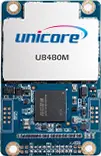
- Module
- UM620A
- UM620
- UM621A
- UM621
- Chip
- UC6226
- Module
- UM220-INS NL
- UM220-INS NF
- UM220-IV NV
- UM220-IV NL
- UM220-IV M0
- UM220-IV L
Kits and Software- High Precision Products Kits
- HPL EVK 5.0 KIT
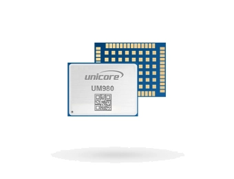
- UM980eb
- UM680Aeb
- UM981eb
- UM681Aeb
- UM982eb
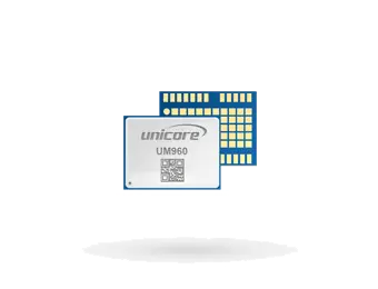
- UM960eb
- UT986eb
- Standard Precision Products Kits
- UC6226NIS EVK Suite
- UC6580 EVK Suite
- UM620 Series EVK Suite
- UM621 Series EVK Suite
- UM220-IV N EVK Suite
- UM220-INS N EVK Suite
- UM220-IV M EVK Suite
- Software
- UPrecise
-
APPLICATIONS
Automotive ApplicationsIndustry ApplicationsIoT and Consumer Applications
- SUPPORT
- ABOUT
- NEWS
-
CONTACT

