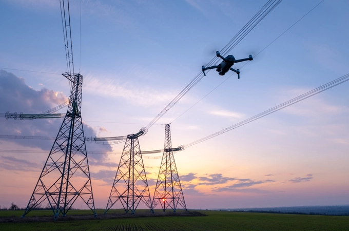
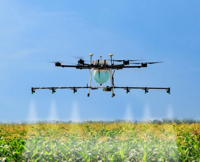
The UAV is widely used in aerial photogrammetry, oil pipeline inspection, power line inspection, agricultural plant protection, aerial surveillance, film and television shooting, family entertainment and other fields. The core to achieve autonomous flight control of UAV is the flight control system, which plays an important part in UAV stability, data transmission reliability, position accuracy and timeliness, and plays a decisive role in its flight performance. In the flight control system, the GNSS receiver module, as the most important sensor, provides real-time location and heading information for the UAV.
To ensure the UAV successfully completing preset tasks, its starting and destination position need to be configured in advance, and parameters such as position, speed, navigation attitude and heading also need to be communicated in real time. GNSS receiver is able to provide a reliable, economic and efficient way to obtain such information.
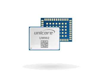
The high-precision GNSS modules developed by Unicore can provide real-time meter, decimeter and centimeter level positioning, support high-precision positioning and orientation solutions using single board dual antenna or dual boards dual antennas, and achieve relative positioning in motion to meet the demands of various UAV flight control systems.
The UAV is very popular among a large number of users and also has many amateur loyal supporters beyond the professional fields. The core unit of UAV is the flight control system. As the most important position sensors, GNSS positioning provides location information for the UAV flight control system and also serves as foundation for a series of interesting applications such as automatic UAV return.
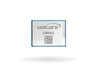
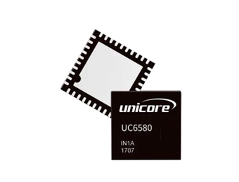
The positioning chips of Unicore featured by high-performance and low power consumption are designed for differented UAV applications. Combined with sensor fusion algorithm, the chips can achieve accurate 3D positioning in multiple scenarios with low power consumption.
 EN
EN  ja
ja  ko
ko  fr
fr  de
de  es
es  it
it  pt
pt  vi
vi  sv
sv  ms
ms